| << | 20 | 21 |
Be sure to hover the mouse over the images.
|
|
Bicycle Tour Adventure #25 |
|
Pictures and Stories About Bicycle Tour Adventures
Great Divide Mountain Bike Route (GDMBR - Segment):
Poncha Springs, Mears Junction, Marshall Pass,
Sargents, Doyleville, Cochetopa Pass,
Carnero Pass to La Garita, Colorado;
by Tandem Bicycle Tour; June, 2009
- Cycling Facts -
Self Contained Bicycle Tour.Three passes in three days, each over 10,000 Feet!
Forty-five mountain miles a day, all cycling above 7,500 Feet altitude.
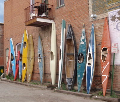
Above Left: Salida is known for its Water Sports - Old Kayaks on display.
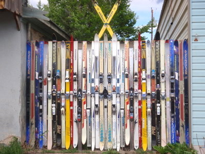
Above Right: Villa Grove is one of the gateways to Ski Country - Old Skis make a good fence.
In Colorado, ski's in a crossed X, means one of two things, one, it means don't go here, or two, it is a symbol for the 10th Mountain Division (of WWII fame, X as in Roman Numeral). In the U.S., almost all of the post war ski resort industry was created by and/or managed by former members of the 10th Mtn Div. In fact, in Colorado, former members (most of whom were resort managers or ski instructors) used to rendezvous with other veterans (resort managers or ski instructors) in the back country for a winter fest, annually, and that is how the 10th Mtn Div alpine hut system got started - everything is connected by these back country hike/bike/ski trails. Also see Bicycle Tour Adventure #1 (Uncle Bud's Hut) or 10th Mountain Division Hut System (open to the public: how to, where, costs, ...). Traveling hut to hut is cool and will leave you breathless (arh arh!).
BTW: The 10th Mtn Division worked out of Camp Leadville. It is mostly torn up except for foundation cement pads and some pill box type bunkers. If one were to look on the top of some of those remaining pill boxes, one might find helicopter skid marks (that I put there with an US Army Cobra [helicopter] in 1978).
ALSO: The symbol for the 'Ski Cooper' resort, just outside of Leadville, Colorado, is a Big 'X' (crossed skis). Isn't it cool?"Now you to know the rest of the story."
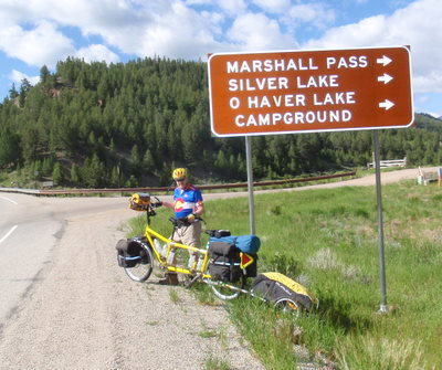
Above Right: We're off! Already cycled 7 miles from Poncha Springs to get to the beginning of the dirt road turnoff for Marshall Pass. We discovered that a bicycle can have too much weight on the front end - Dennis was having steering control problems. We moved some food (weight) to the rear rack and the steering problem went away.
Lesson: Spreading the weight evenly between the front and rear wheels has its limits - the limit seems to be about 35-40 pounds of gear on the front wheel (including what is in the handlebar bag).
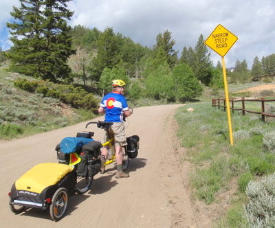
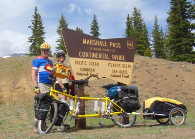
Above Right: About 5 hours later, Marshall Pass, 10,842 Feet. The next 17 miles is mostly down hill.
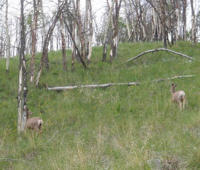
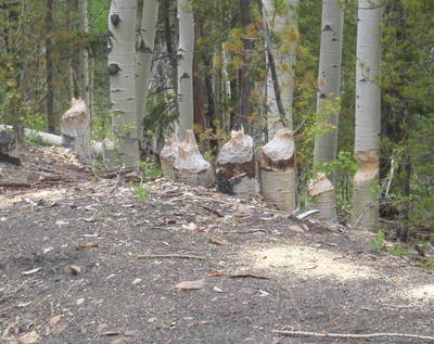
Above Right: Beavers about.
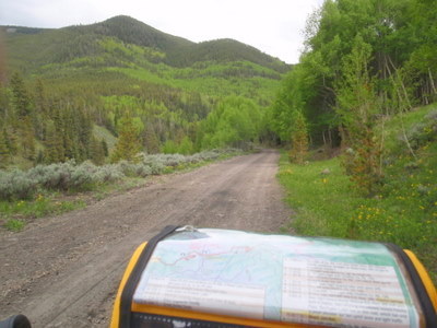
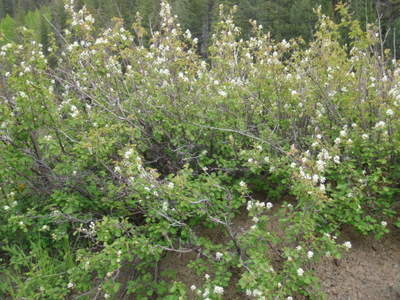
Above Right: Flowering Mountain Mahogany, aka Current.
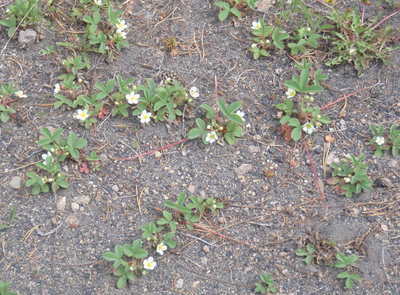
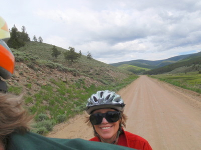
Above Right: Terry - A Happy Camper! Oh yea, Dennis probably needs a haircut.
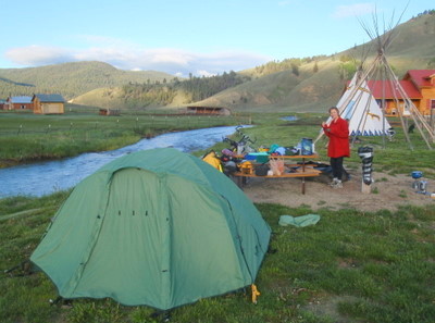
Above Right: Camp for the night in the town of Sargents. Good camp hosts, hot showers!
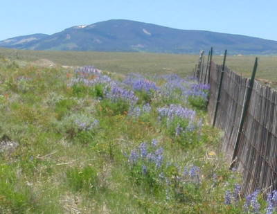
Above Right: We're in an arid high plain but the snow fence holds just enough extra winter snow for just this spot that it can support Penstemons, a plant that needs more water than normally provided in this high dry plain!
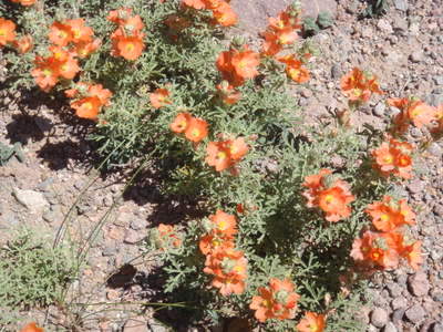
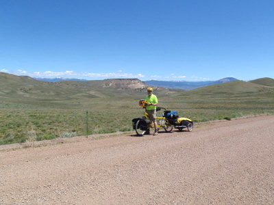
Above Right: The arid view across Razor Creek.
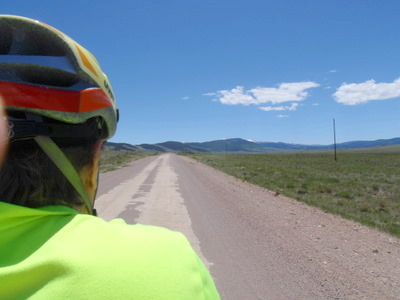
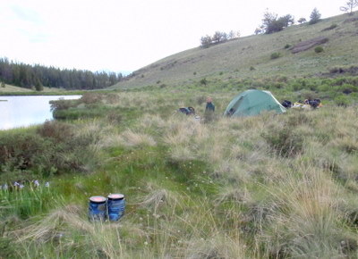
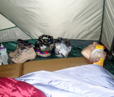
Above Right: Camp, just inside the Gunnison National Forest boundary. We ate Chicken Teriyaki for Dinner, Terry is putting away some cooking equipment, and Dennis just placed the Bear Proof food containers (in the foreground) away from camp, next to some wild mountain Irises. A little personal spiritual time to give thanks, just before bed.
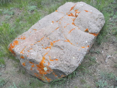
Above Right: A big rock with cool orange colored lichen in our camp site.
Reader's Input, July, 2010:
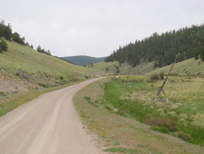
The telephone poles at Cochetopa, Colorado were probably the same ones erected during the World War I era by a crew from Saguache that went through the pass, to the agency and Cathedral Rock, up Cebolla Creek to Powderhorn and then down to Lake City. Author, Anne Ellis, was on the crew as a cook and tells a wonderful story about the trip in her book, "Plain Anne Ellis".Wow, Thank You Julie!
I discovered about her 6 years ago when I was doing research on the Bonanza, Colorado area, which was the mining town in which she grew up. She led a fascinating (she called "ordinary") life that she eventually was encouraged to write about. She ended up writing 3 autobiographies and recounted the telephone pole crew her story in the second. Her books are:
- The Life of an Ordinary Woman
- Plain Anne Ellis
- Sunshine Preferred
You can find them all at www.abebooks.com which is a web site that gathers together small book sellers from North America and the United Kingdom into one convenient online shopping group. You can also see the web site I found 6 years ago: http://www.slvguide.com/Bonanza/Anne%20Ellis.htm.
Thanks, Julie C
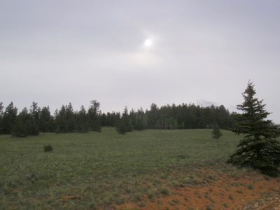
Above Right: The Sun. Today started as a solid overcast, as we got closer to the pass the clouds became denser. It will start misting after we cross the pass and it will be officially raining by 2pm.
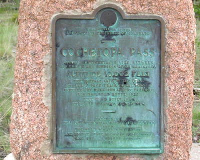
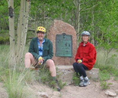
Above Right: Terry and Dennis at Cochetopa Pass, 10,067 Feet (the plaque says 10,032 Feet). We're on the Continental Divide and the NF border, leaving Gunnison National Forest for the Rio Grande National Forest.
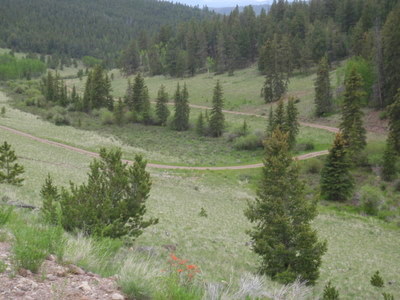
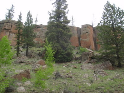
Above Right: Colored rim rock of Taylor Canyon, ancient basalt volcanic columns.
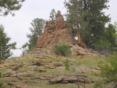
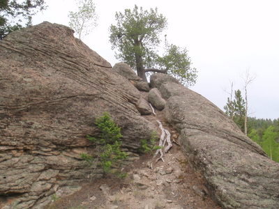
Above Right: We ate lunch here, slightly off trail. We observed the tree root system helping to split two large boulders.
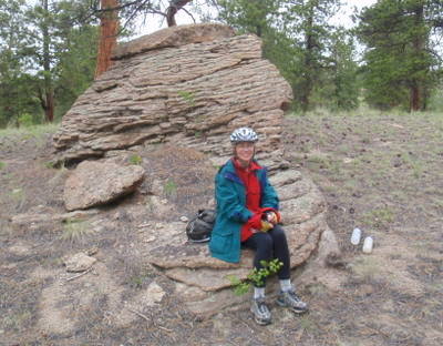
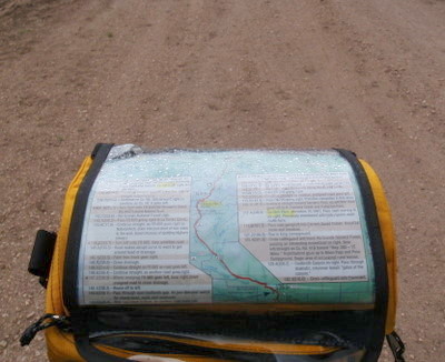
Above Right: 2PM, it's raining. The rain is what the Native Americans call a Female Rain. We are prepared and the road is still traversable, so we continue heading toward Carnero Pass.
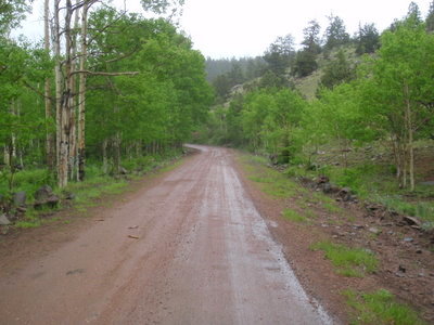
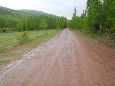
Above Right: We're at about 9,800 Feet altitude. We had talked about going over the pass because the sky looks clear beyond the pass, but we are at high risk for hypothermia and energy depletion. It's starting to get difficult to pedal the bike in ever deepening soft wheel tracks. We decide, correctly, to pitch a tent right here, fetch water from a stream, cook a warm meal, and call it a day. It's a good decision! The rain will be off and on all night long, luckily, with no lightning.
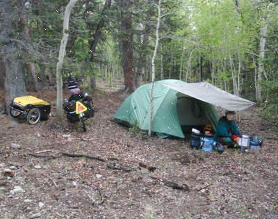
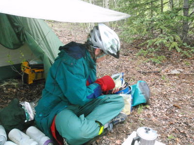
Above Right: Instant Hungarian Goulash; add boiled water, stir, wait ten minutes. It was perfect and delicious; just what the Doctor ordered (arh, arh).
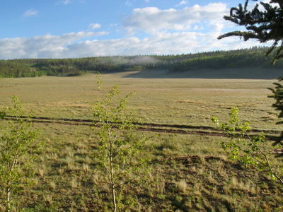
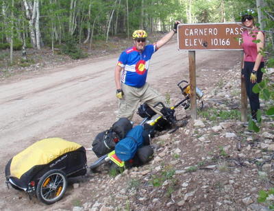
Above Right: We crest Carnero Pass at 10,166 Feet. This was a tough climb for us, it seemed to climb forever.
Carnero is a Spanish Surname - We know nothing about the name derivation for the pass and we are aware of the Latin root word meaning.
![Carnero [National Forest] Guard Station. Carnero [National Forest] Guard Station.](PonchaSprings/153CarneroPass.jpg)
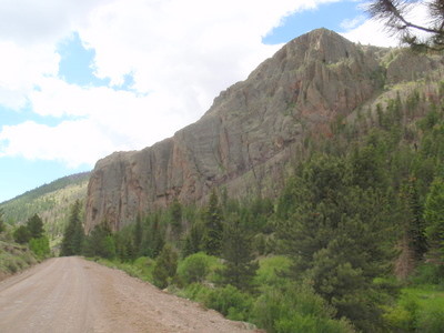
We did not know it, but there is a cabin with many bunk beds that can be rented for $35/night at this location (no facilities except hand pump for water; pack it in, pack it out; bring your own bedding and food; 970-723-2300).
Above Right: Coolbroth Canyon, ancient basalt volcanic columns guard the valley entrance.
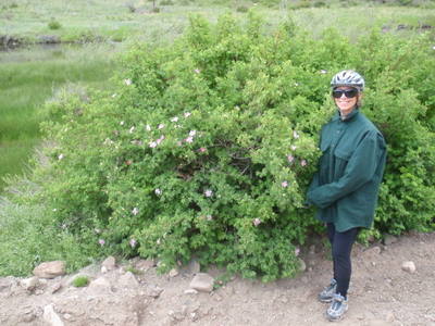
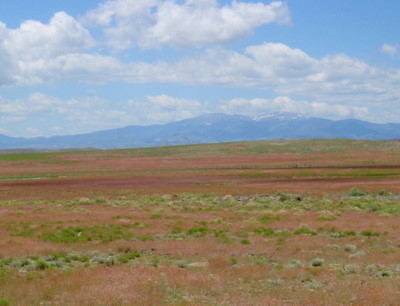
Above Right: The San Juan Valley is vivid with the RGB light pallet (absolutely no digital color adjustments; photo width reduced to 400 pixels). We're about three miles from La Garita, our destination.
Interestingly, the area of La Garita (Spanish for "the Lookout") was probably the site of the largest volcano caldera explosion ever on the face of the earth (according to Wikipedia). The Ute's used the area for their summer camps. Both the Ute and the Spanish used the La Garita area as a lookout. Spanish farmers and ranchers settled the area in 1858. A replacement Mission Church still remains, the original 1870's church burned down in 1923. La Garita was one of many US towns that lost almost half of its population in 1918 due to an outbreak of a killer strain of influenza. Today, La Garita serves as National Forest Information and Warden Facility and the best burgers in the valley are served at La Garita Cash Store and Restaurant (which is also the local meeting place for most civic and community affairs).
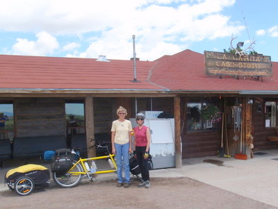

the Bicycle Touring Checklist (created by yours truly - a shameless plug).
Above Right: Bonnie's husband helps us start our truck with his supercharged rebuild. Dennis left the lights on and the battery is way dead (and that's not on the checklist, yet - arh arh). We are so grateful for their help!
|
|
|